Choose filters
Cancel
Validate
Choose filters
Validate
Validate
Validate

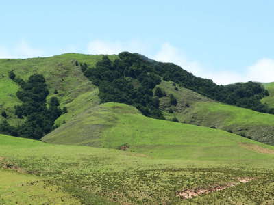 Tafí del Valle | Treeline area
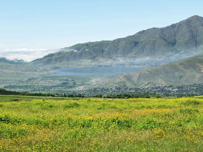 Valle de Tafí with Lago El Mollar
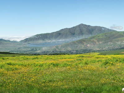 Valle de Tafí with Lago El Mollar
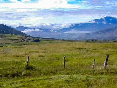 Valle de Tafí with Lago El Mollar
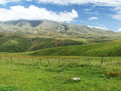 Sierra de Aconquija with mountain pastures
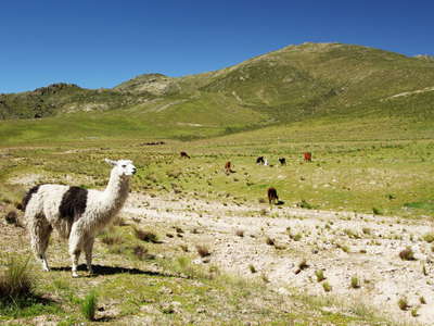 Abra del Infernillo | Alpine grassland with llamas
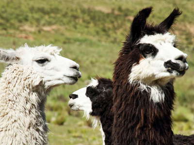 Abra del Infernillo | Llamas
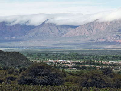 Cafayate | Foehn clouds
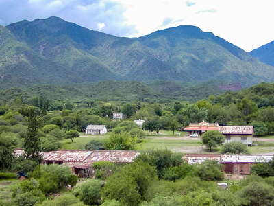 Valle de Lerma | Alemanía
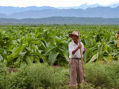 Valle de Lerma | Tobacco cultivation
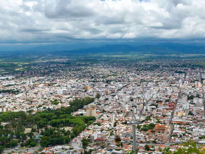 Valle de Lerma with Salta
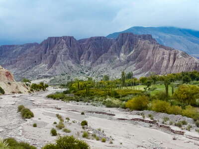 Quebradilla de Purmamarca
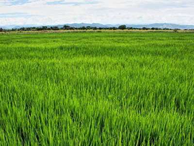 Río Magdalena Valley | Rice field
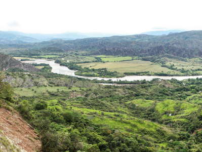 Upper Río Magdalena valley
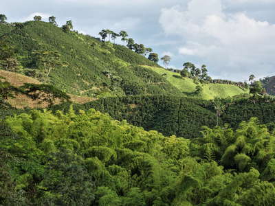 Chinchiná | Guayabal coffee farm
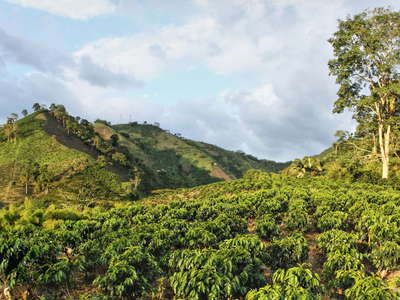 Chinchiná | Guayabal coffee farm
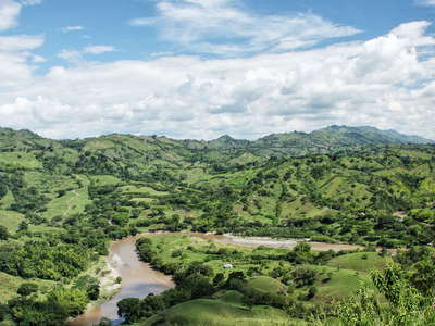 Cartago | Cultural landscape
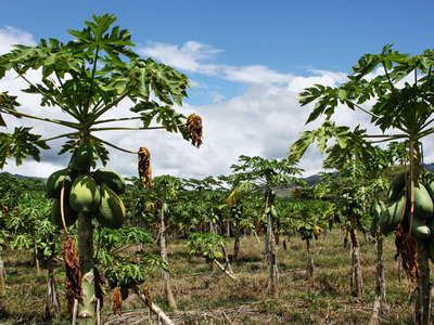 Cauca valley | Papaya cultivation
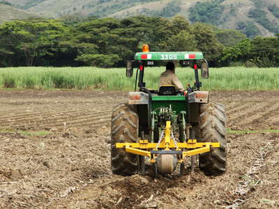 Cauca Valley | Sugar cane cultivation
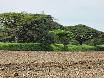 Cauca Valley | Umbrella trees
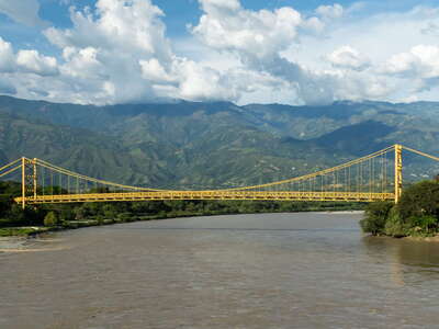 Santa Fe de Antioquia | Puente Paso Real
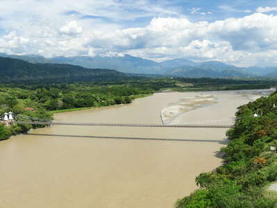 Santa Fe de Antioquia | Puente de Occidente
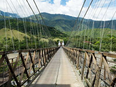 Santa Fe de Antioquia | Puente de Occidente
 Cauca Valley with El Guasimo Landslide
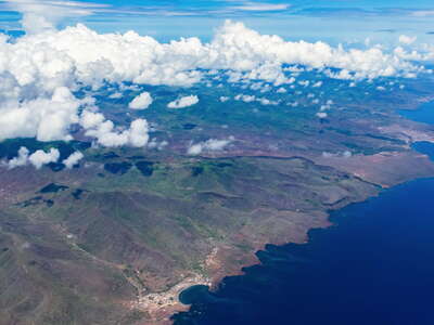 Santiago | Aerial view of the NE coast
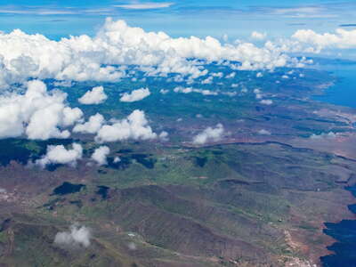 Santiago | Aerial view of the NE coast
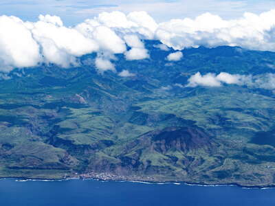 Santiago | Aerial view of the SW coast
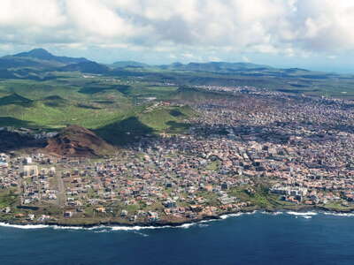 Santiago | Suburbs of Praia
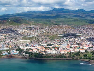 Santiago | City centre of Praia with Platô
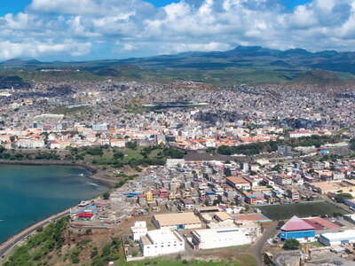 Santiago | Praia with Achada Grande and Platô
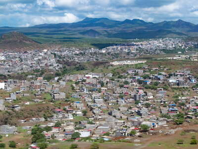 Santiago | Suburbs of Praia
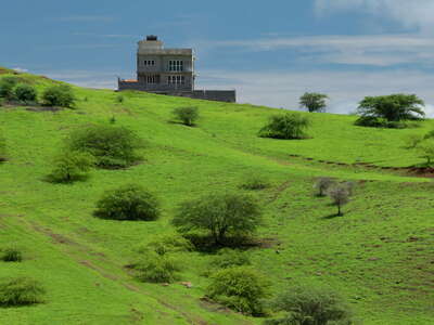 Santiago | Landscape near Ribeirão Chiqueiro
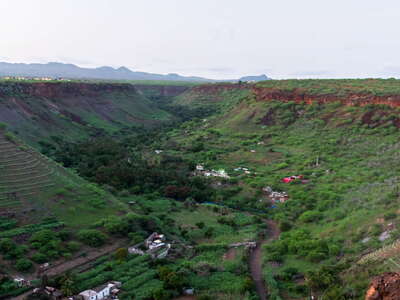 Santiago | Ribeira Grande after sunset
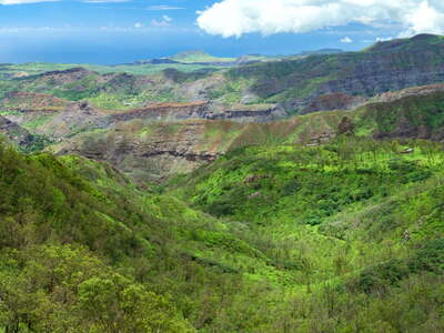 Santiago | Western slopes of Pico d'Antónia
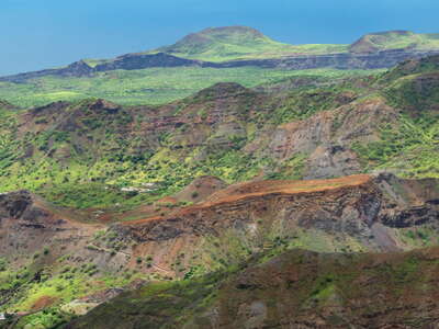 Santiago | Western slopes of Pico d'Antónia
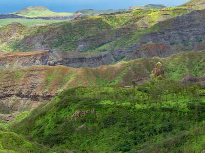 Santiago | Western slopes of Pico d'Antónia
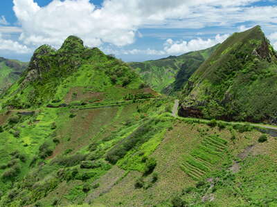 Santiago | Mountain landscape near São Domingos
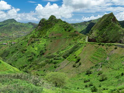 Santiago | Mountain landscape near São Domingos
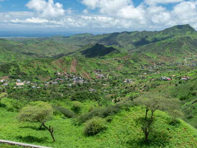 Santiago | Mountain landscape with Água de Gato
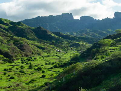 Santiago | Ribeira Seca with Barragem de Poilão
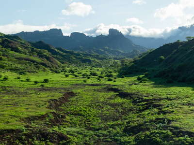 Santiago | Ribeira Seca with Barragem de Poilão
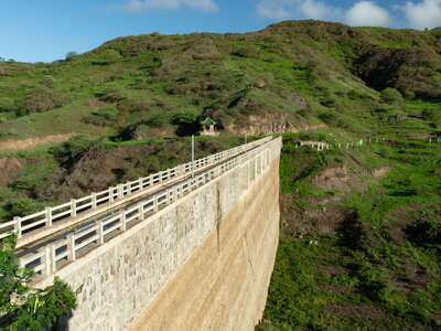 Santiago | Barragem de Poilão
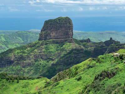 Santiago | Monte João Teves
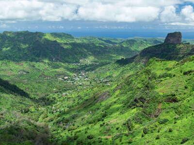 Santiago | São Jorge dos Órgãos and Monte João Teves
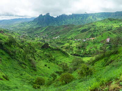 Santiago | Ribeira Pico d'Antónia and Monte João Teves
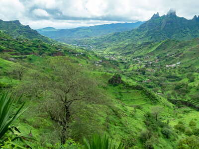 Santiago | Ribeira Pico d'Antónia and Monte João Teves
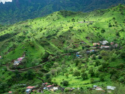 Santiago | Ribeira Pico d'Antónia
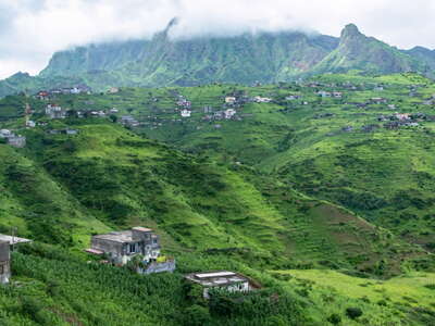 Santiago | Chão Grande
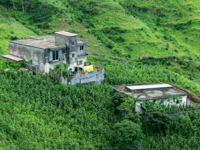 Santiago | Rural estate near Chão Grande
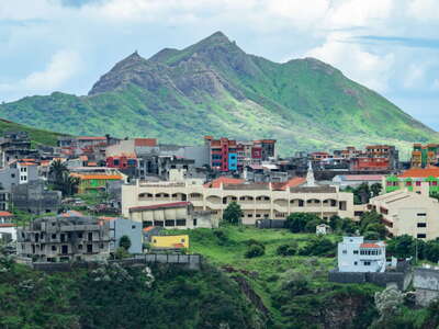 Santiago | Assomada
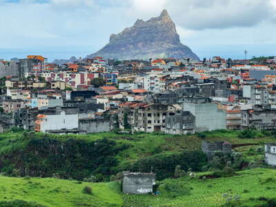 Santiago | Assomada with Monte Brianda
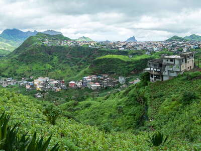 Santiago | Panoramic view of Assomada
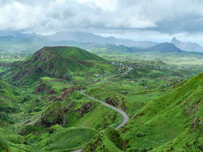 Santiago | Plateau of Santa Catarina with Monte Jagau
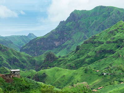 Santiago | Ribeira da Cuba
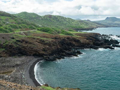 Santiago | Northeast coast near Pedra Ferro
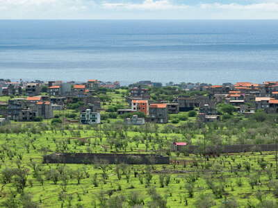 Santiago | Suburbs of Tarrafal
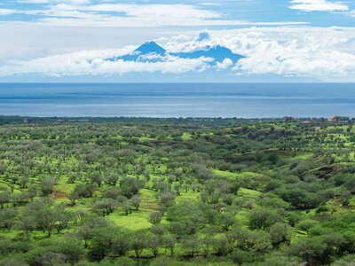 Santiago | View to Fogo
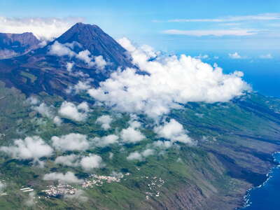 Fogo with Pico do Fogo
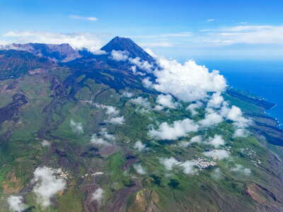 Fogo with Bordeira and Pico do Fogo
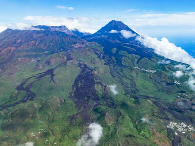 Fogo with Bordeira and Pico do Fogo
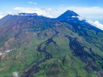 Fogo with Bordeira and Pico do Fogo
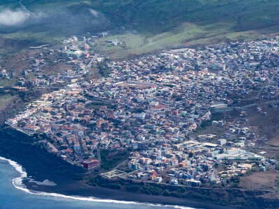 Fogo | Aerial view of São Filipe
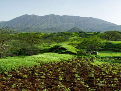 Fogo | Southern slopes with Bordeira
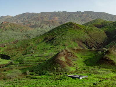 Fogo | Southern slopes near Achada Fuma
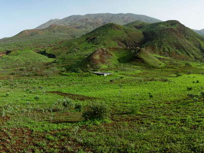 Fogo | Southern slopes with Achada Fuma and Bordeira
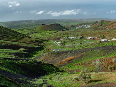 Fogo | Southern slopes with Achada Fuma
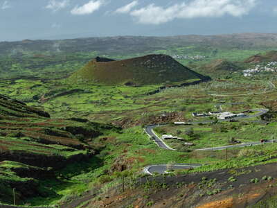 Fogo | Cinder cone and Achada Fuma
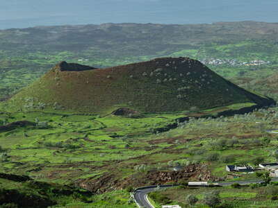 Fogo | Cinder cone near Achada Fuma
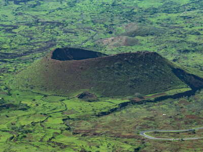 Fogo | Cinder cone near Achada Fuma
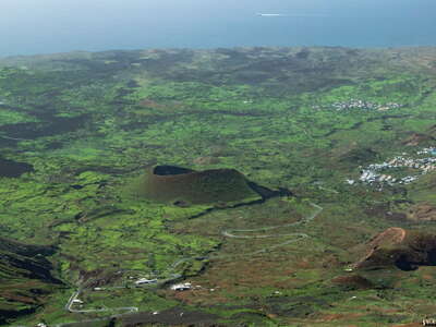 Fogo | Southern slopes with Achada Fuma
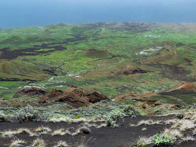 Fogo | Southeastern slopes
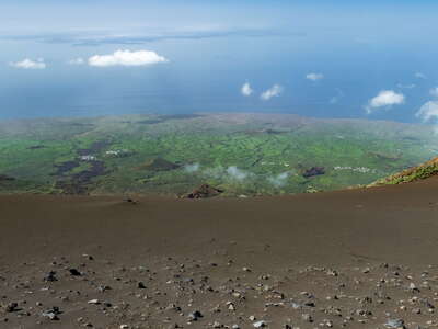 Fogo | Bordeira and SW slopes
 Fogo | Mountain shrubland with Euphorbia tuckeyana
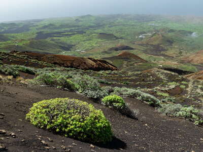 Fogo | Mountain shrubland with Euphorbia tuckeyana
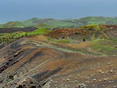 Fogo | Bordeira near Cabeça Fundão
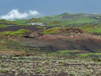 Fogo with Estância Roque and Cabeça Fundão
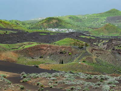 Fogo | Lava flow of 1951 and Estância Roque
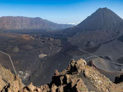 Fogo | Chã das Caldeiras with Bordeira and Pico do Fogo
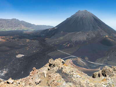 Fogo | Chã das Caldeiras with Bordeira and Pico do Fogo
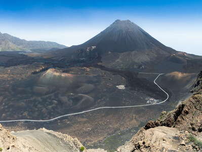 Fogo | Chã das Caldeiras with Bordeira and Pico do Fogo
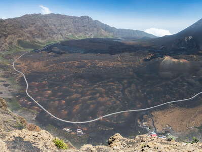 Fogo | Chã das Caldeiras with Bordeira and Pico do Fogo
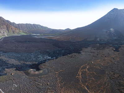 Fogo | Chã das Caldeiras with Bordeira and Pico do Fogo
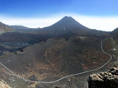 Fogo | Chã das Caldeiras with Bordeira and Pico do Fogo
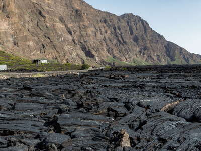 Fogo | Chã das Caldeiras with lava flow of 2014/15
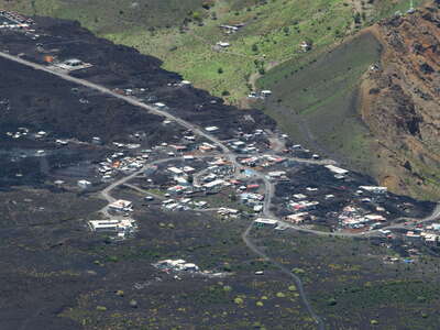 Fogo | Chã das Caldeiras with Portela
 Fogo | Portela with Pico do Fogo
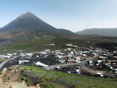 Fogo | Chã das Caldeiras with Portela and Pico do Fogo
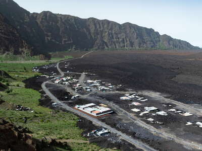 Fogo | Chã das Caldeiras with Bangaeira
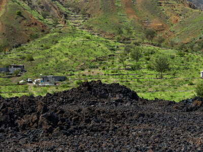 Fogo | Chã das Caldeiras with lava flow and agriculture
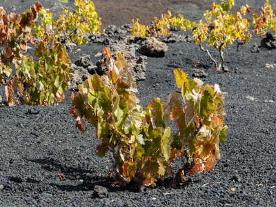 Fogo | Grape cultivation at Chã das Caldeiras
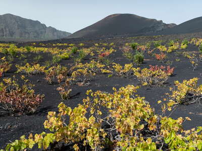 Fogo | Grape cultivation at Chã das Caldeiras
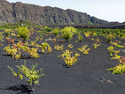 Fogo | Grape cultivation at Chã das Caldeiras
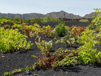 Fogo | Grape cultivation at Chã das Caldeiras
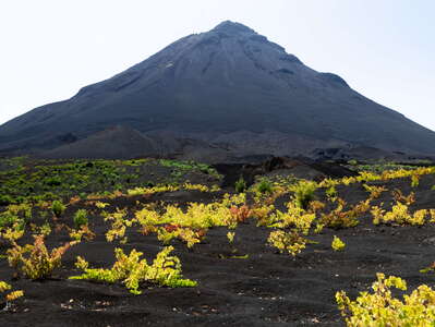 Fogo | Pico do Fogo with vineyard
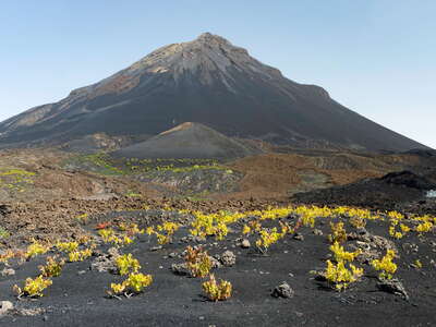 Fogo | Pico do Fogo with vineyard
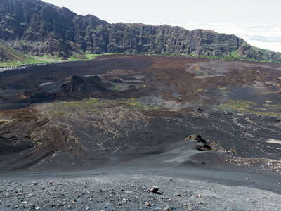 Fogo | Chã das Caldeiras with Bordeira
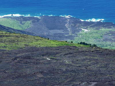 Fogo | Northeast coast
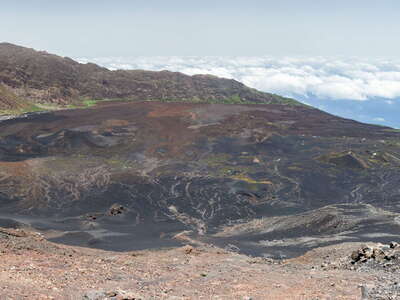 Fogo | Chã das Caldeiras and Bordeira
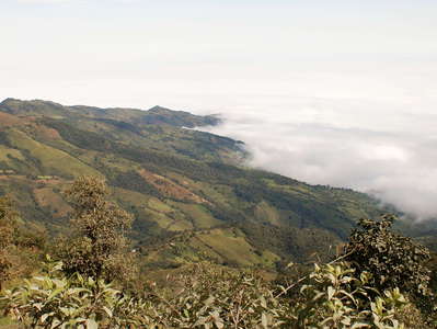 Bolívar | W slopes of Andes
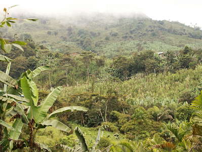 Bolívar | Cultivated land
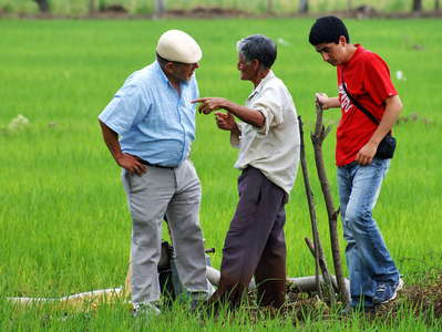 Los Ríos | Farmer and scientists
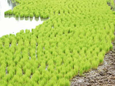 Los Ríos | Rice cultivation
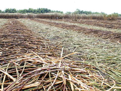 Guayas | Sugar cane cultivation
 Waimea | Farmland and coast
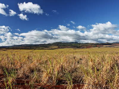 Hanapepe | Sugar cane cultivation
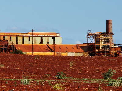 Kaumakani | Old sugar mill
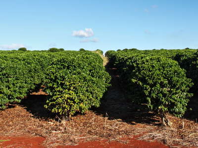 Hanapepe | Coffee cultivation
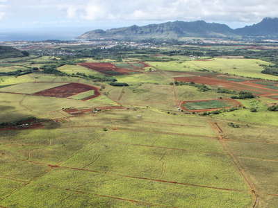 Līhu'e | Farmland and Haupu Range
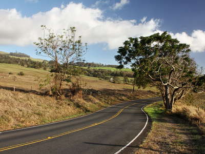 'Ulupalakua | Highway 37
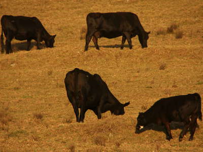 Pukalani | Upcountry with cattle
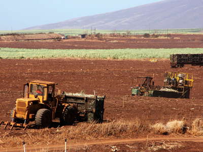 Pukalani | Sugar cane harvest
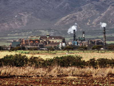 Kahului | Sugar mill
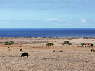 South Point | Cattle ranch
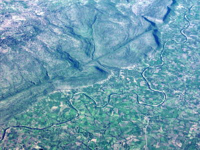 Jabalpur | Hiran River and tectonic fault
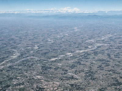 Indo-Gangetic Plain and Himalaya
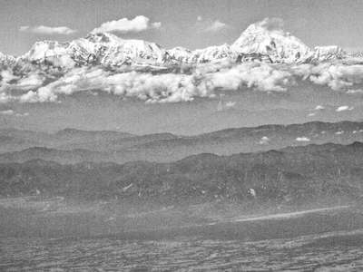 Himalaya with Mt. Everest and Makalu
 Himalaya with Mt. Everest and Makalu
 Sequence of Himalayan ranges | Annotated view
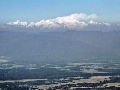 Himalaya with Kangchenjunga
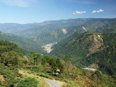 Balason Valley with landslides
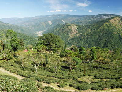 Balason Valley with Singbulli Tea Garden and landslides
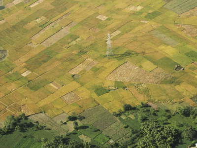 Banshgaon | Farmland
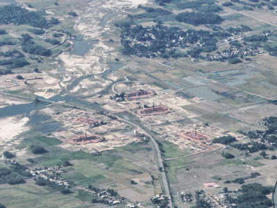 Tatpowa | Mechi River with brickworks
 Shiv Khola Valley with river bank collapses
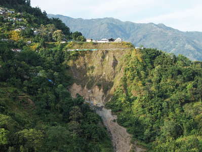 Tindharia Landslide
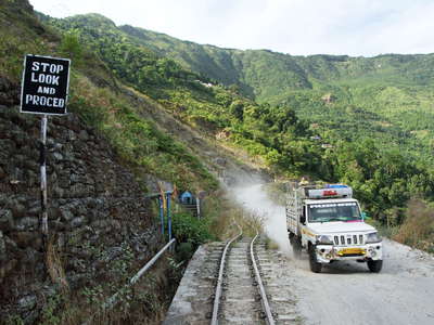 Paglajhora Landslide with Hill Cart Road
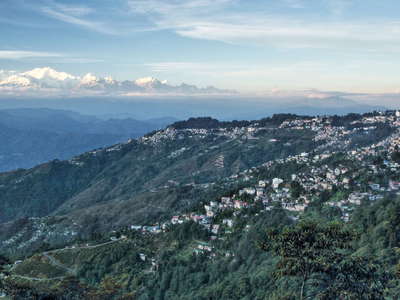 Darjeeling and Kangchenjunga
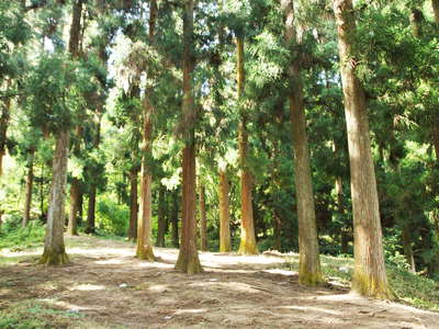 Mirik | Cryptomeria japonica forest
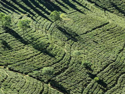 Mirik | Paschim Phuguri Tea Garden
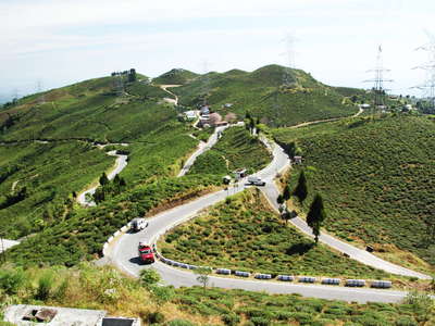 Mirik | Paschim Phuguri Tea Garden
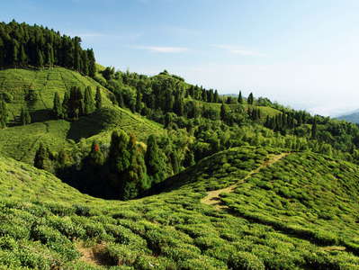 Mirik | Okaity Tea Garden
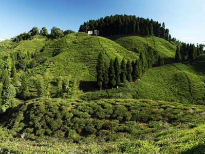 Mirik | Okaity Tea Garden
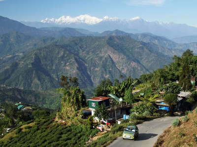 Darjeeling | Rural landscape with Kangchenjunga
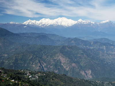 Lesser Himalaya and Kangchenjunga
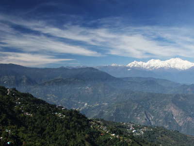 Lesser Himalaya and Kangchenjunga
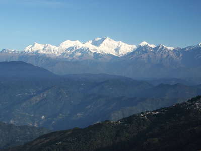 Lesser Himalaya and Kangchenjunga
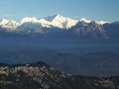 Darjeeling with Kangchenjunga
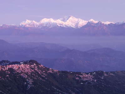 Darjeeling with Kangchenjunga
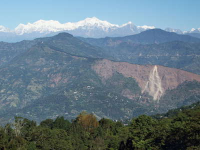 Tarey Bhir and Kangchenjunga
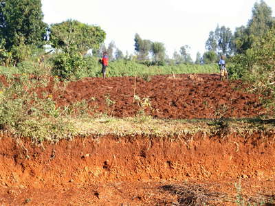 Western Kenya | Farmland
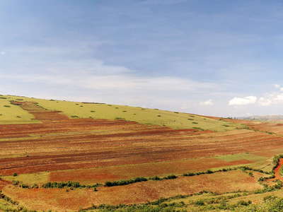 Western Kenya | Agricultural boundary
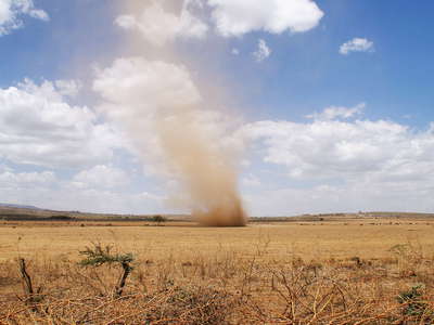 East African Rift Valley | Dust devil
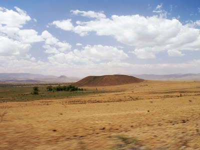 East African Rift Valley
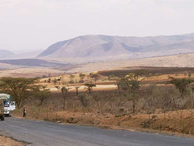 East African Rift Valley with Mt. Suswa
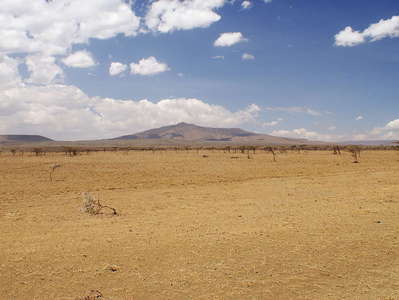 East African Rift Valley with Mt. Longonot
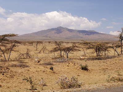 East African Rift Valley with Mt. Longonot
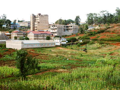 Nyeri | Urban rurality
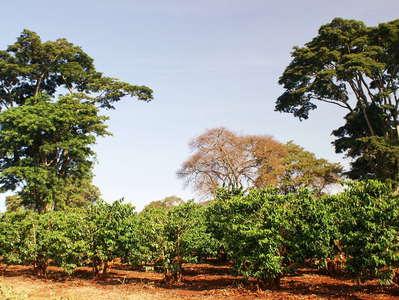 Nyeri | Coffee plantation
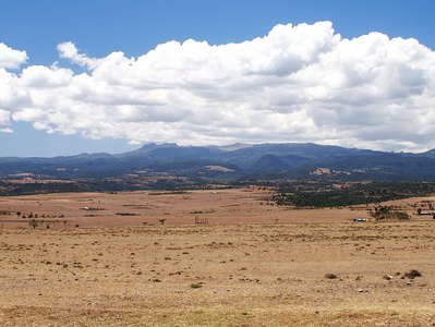 White Highlands with Aberdare Range
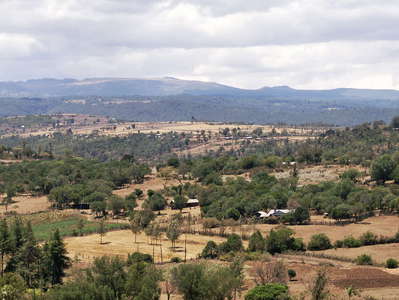 White Highlands with Aberdares
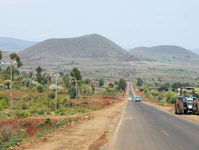 Mount Kenya Ring Road
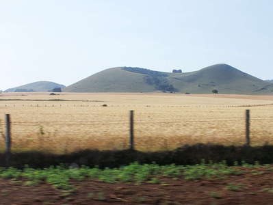 Mount Kenya Ring Road
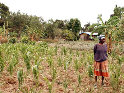 Naro Moru | Farmstead
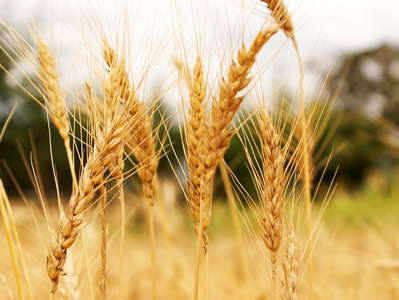 Naro Moru | Wheat
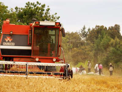 Naro Moru | Wheat harvest
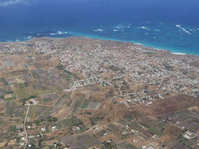 Barbados
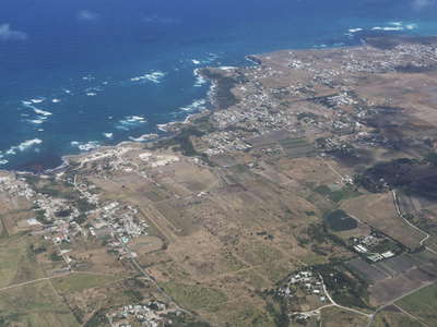 Barbados
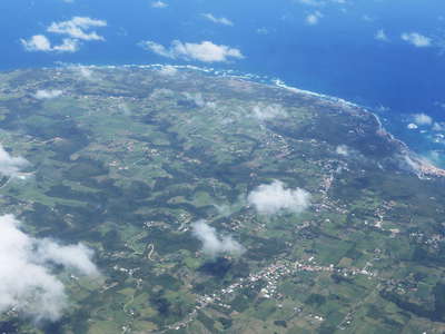 Guadeloupe | Marie-Galante
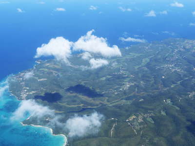 Guadeloupe | Marie-Galante
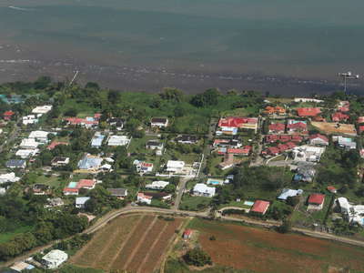 Guadeloupe | Baie-Mahault
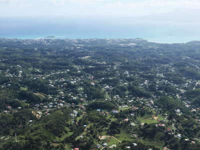 Guadeloupe | Grande-Terre with karst features
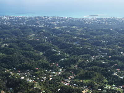 Guadeloupe | Grande-Terre with karst features
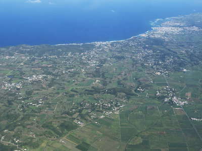 Guadeloupe | Grande-Terre
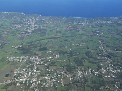 Guadeloupe | Grande-Terre
 Antigua at once
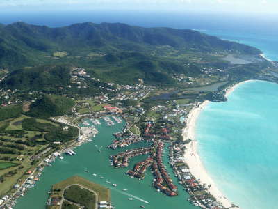 Jolly Harbour
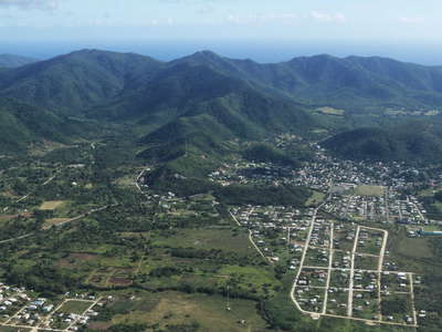 Bolands with Mt. Obama
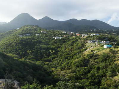 Centre Hills
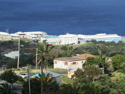 Brades
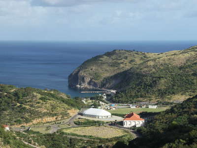 Little Bay
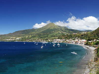 Saint-Pierre with Montagne Pelée
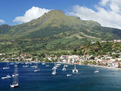 Saint-Pierre with Montagne Pelée
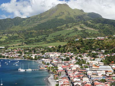 Saint-Pierre with Montagne Pelée
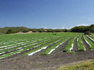 Les Salines | Vegetable cultivation
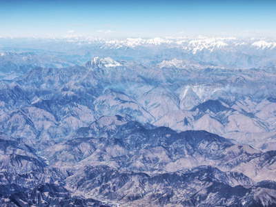 Western Nepal | Himalayan ranges
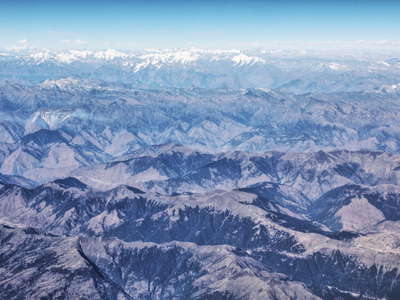 Western Nepal | Himalayan ranges
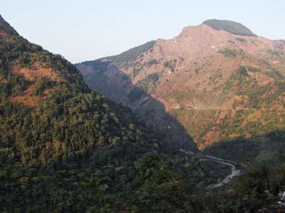 Lesser Himalaya at sunset
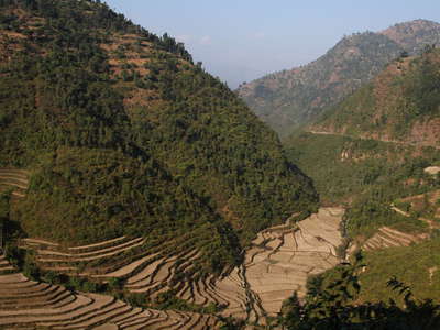 Lesser Himalaya with terraced farmland
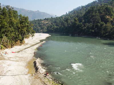 Lesser Himalaya | Trisuli River
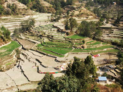 Lesser Himalaya | Terraced farmland
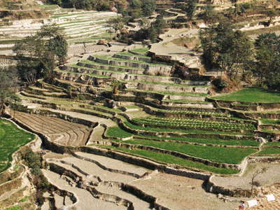 Lesser Himalaya | Terraced farmland
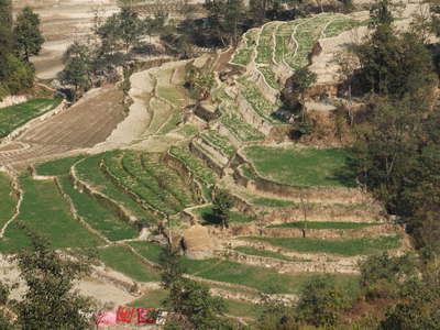 Lesser Himalaya | Terraced farmland
 Lesser Himalaya | Terraced farmland
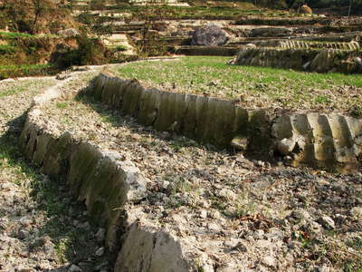 Lesser Himalaya | Terraced farmland
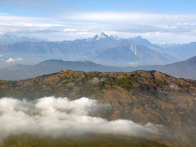 Lesser Himalaya E of Kathmandu
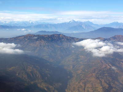 Lesser Himalaya E of Kathmandu
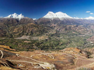 Callejón de Huaylas and Cordillera Blanca
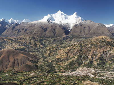 Callejón de Huaylas and Nevado Huandoy
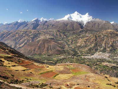 Cordillera Negra and Cordillera Blanca
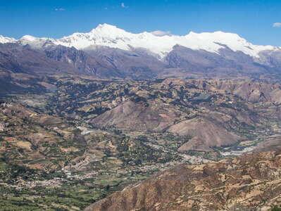 Callejón de Huaylas and Cordillera Blanca
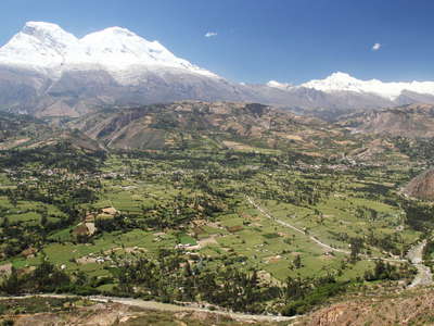 Cordillera Blanca with debris cone of Ranrahirca
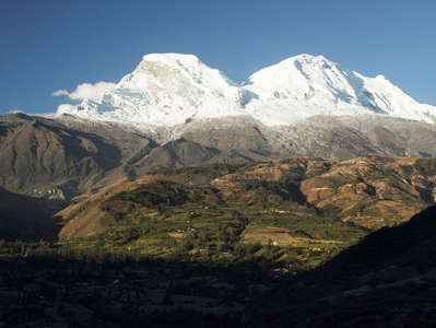 Cordillera Blanca | Nevado Huascarán
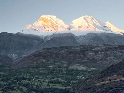 Cordillera Blanca | Nevado Huascarán at sunset
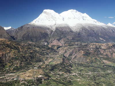 Callejón de Huaylas with Nevado Huascarán
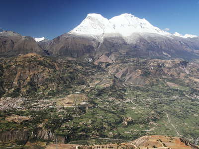 Callejón de Huaylas with Nevado Huascarán
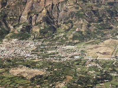 Callejón de Huaylas | Nueva Yungay and Campo Santo
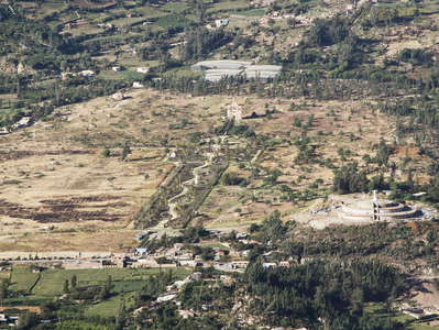 Yungay | Campo Santo
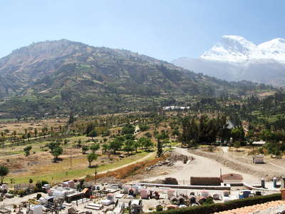 Yungay | Campo Santo with Nevado Huascarán
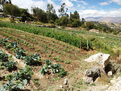 Huashao | Farmland
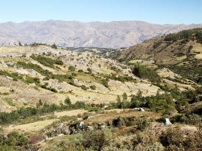 Quebrada Ishinca and Cordillera Negra
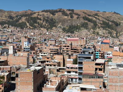 Huaraz | City centre
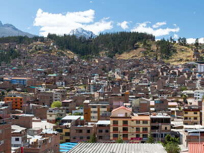 Huaraz | Urban landscape
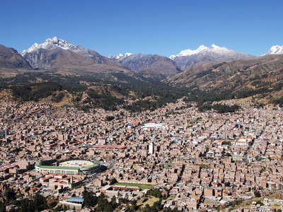 Huaraz with Cordillera Blanca
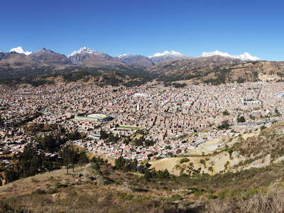 Huaraz | Panoramic view with Cordillera Blanca
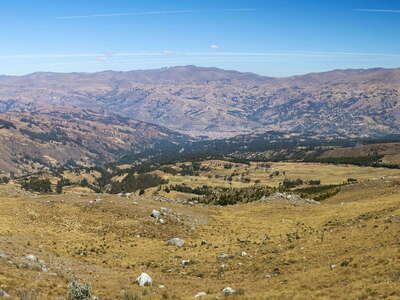 Callejón de Huaylas with Huaraz and Cordillera Negra
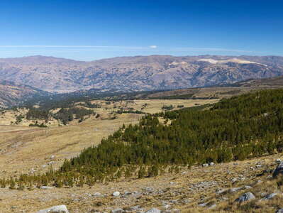 Quebrada Quilcayhuanca with pine plantation
 Callejón de Huaylas with Huaraz and Cordillera Negra
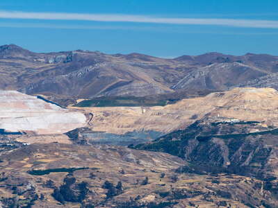 Callejón de Huaylas | Mina Pierina
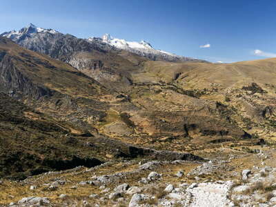 Quebrada Quilcayhuanca and Cashan
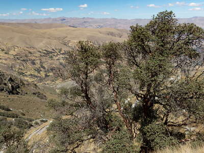 Quebrada Quilcayhuanca | Polylepis
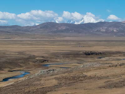 Conococha | Río Santa and Cordillera Huayhuash
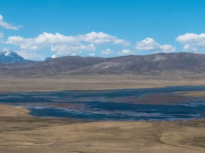 Laguna Conococha
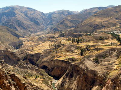 Valle del Colca with Madrigal
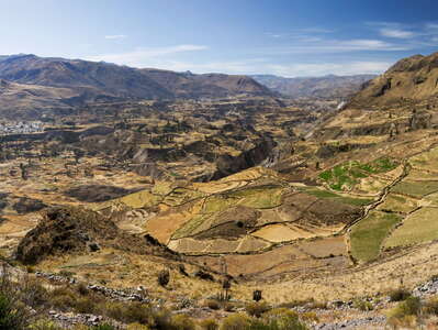 Valle del Colca | Panoramic view with Madrigal
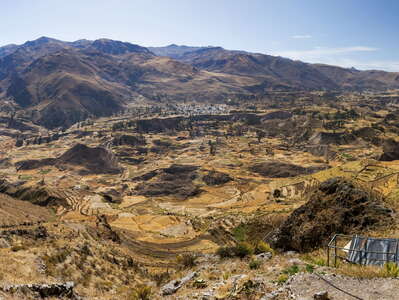 Valle del Colca | Panoramic view with Madrigal
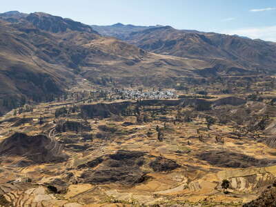 Valle del Colca with landslide of Madrigal
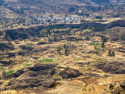 Valle del Colca | Landslide of Madrigal in 2018
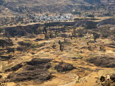 Valle del Colca | Landslide of Madrigal in 2022
 Valle del Colca with terraced farmland
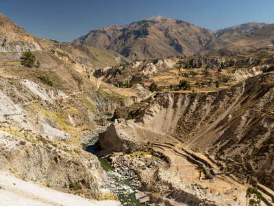 Valle del Colca
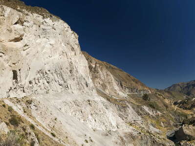 Valle del Colca with pyroclastic deposit
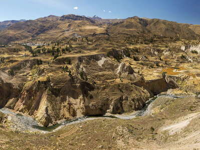 Valle del Colca | Panoramic view with Madrigal and Lari
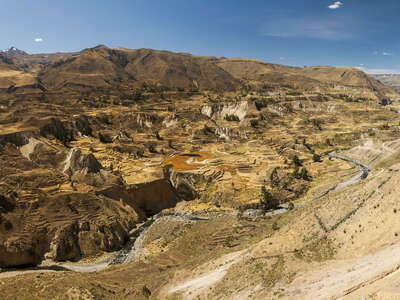 Valle del Colca | Panoramic view with Lari
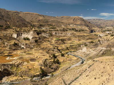 Valle del Colca | Panoramic view with Lari and Maca
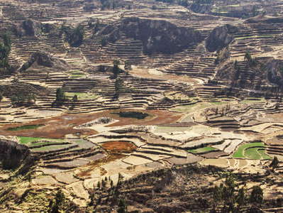 Valle del Colca | Terraced farmland
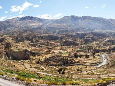 Valle del Colca | Panoramic view with terraced farmland
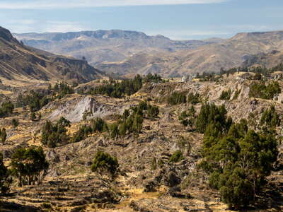 Valle del Colca | Landslide of Maca
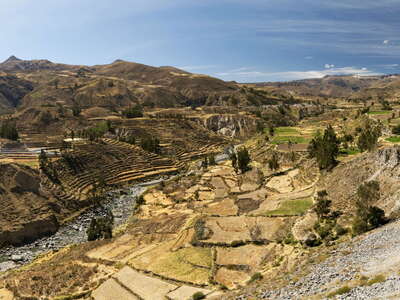 Valle del Colca with Ichupampa
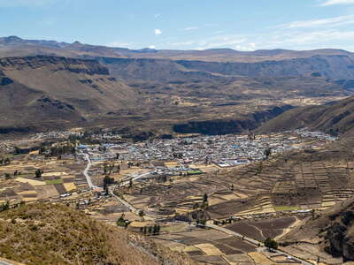 Valle del Colca with Chivay
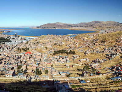 Puno with Lago Titicaca
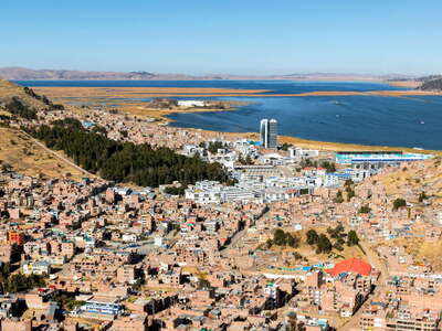 Puno with Lago Titicaca
 Puno with Lago Titicaca
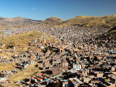 Puno
Puno Puno
Puno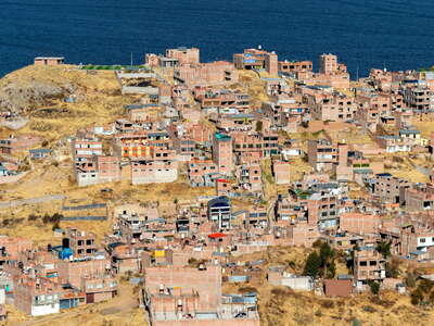 Puno | Residential neighbourhood and Lake Titicaca
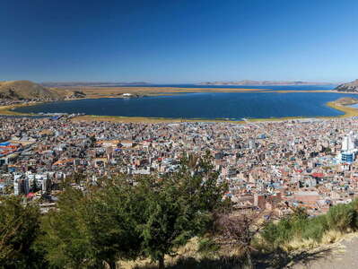 Puno with Lago Titicaca
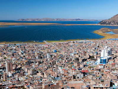 Puno with Lago Titicaca
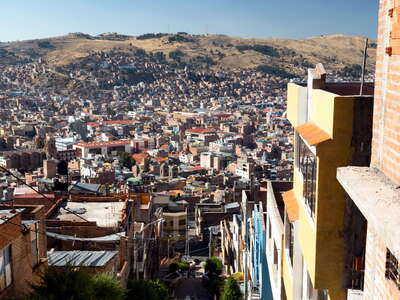 Puno with historic centre
 Lago Titicaca | Bahía de Puno with reed belt
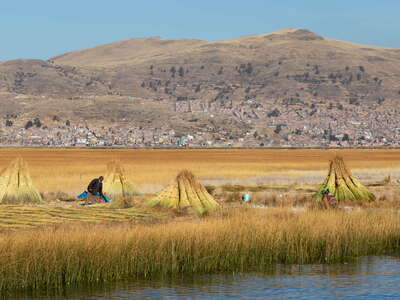 Lago Titicaca | Reed harvesting
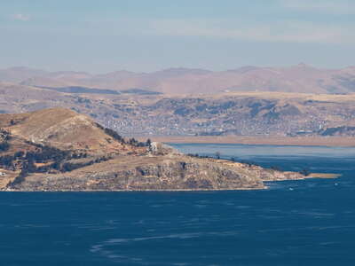 Lago Titicaca with Península de Chucuito and Puno
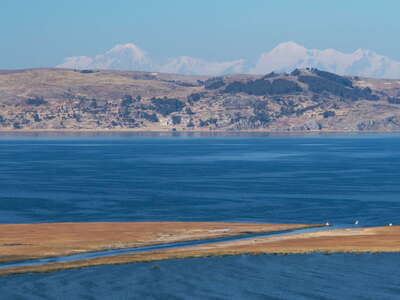 Lago Titicaca | Bahía de Puno and Cordillera Real
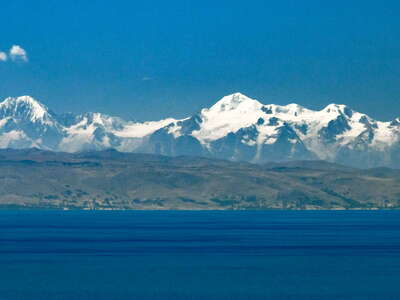 Lago Titicaca with Cordillera Real
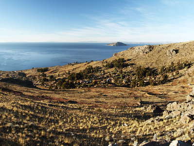 Lago Titicaca | Isla Amantaní
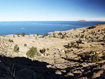 Lago Titicaca | Isla Amantaní
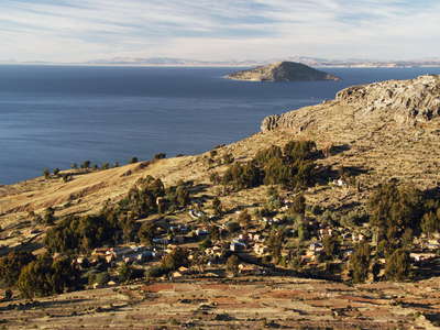 Lago Titicaca | Isla Amantaní
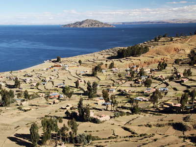 Lago Titicaca | Isla Amantaní
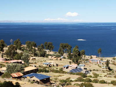 Lago Titicaca | Isla Amantaní and Cordillera Real
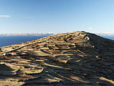 Isla Amantaní | Pachatata
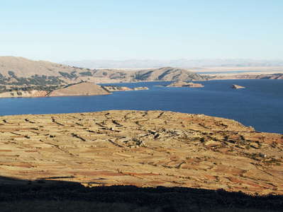 Isla Amantaní with Lago Titicaca
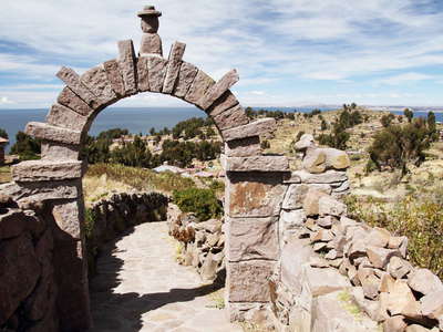 Isla Taquile | Footpath with stone arch
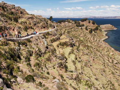 Isla Taquile with Lago Titicaca
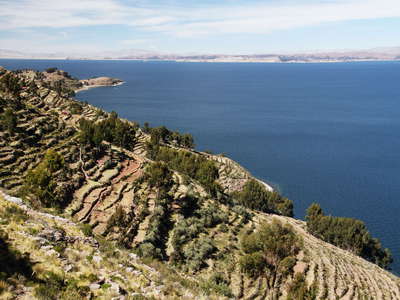 Lago Titicaca with Isla Taquile
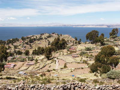 Lago Titicaca | Isla Taquile
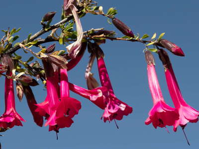 Isla Taquile | Cantua buxifolia
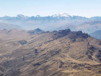 Cusco | Pachatusan and Cordillera Urubamba
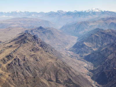 Cusco | Pachatusan and Urubamba Valley
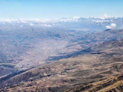 Cusco with Cordillera Vilcabamba
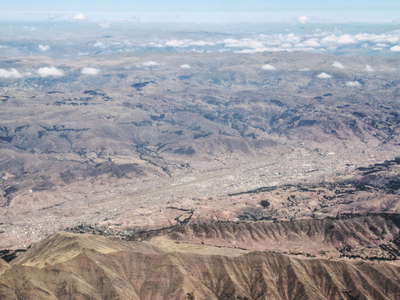 Cusco
Cusco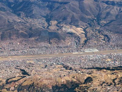 Cusco with Aeropuerto Alejandro Velasco Astete
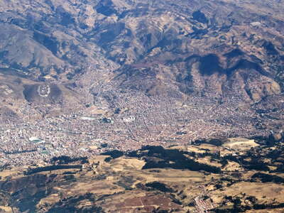 Cusco with historic centre and Sacsayhuamán
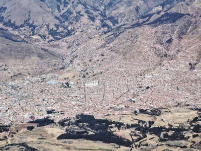 Cusco | City centre
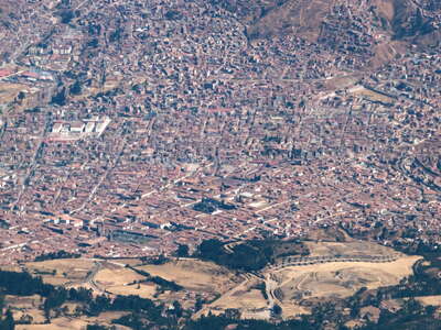 Cusco | Sacsayhuamán and historic centre
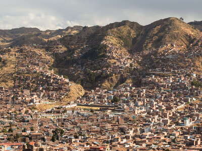 Cusco with hillslope neighbourhoods
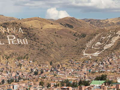 Cusco | Patriotism
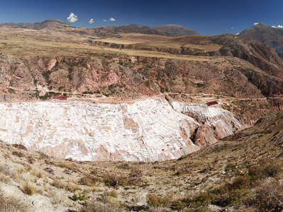 Salineras de Maras | Panoramic view
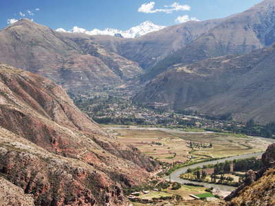 Urubamba Valley with Cordillera Urubamba
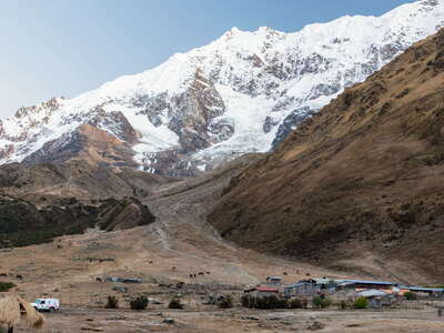 Cordillera Vilcabamba | Soraypampa with Tukarway
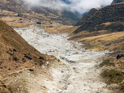 Quebrada Humantay with GLOF impact area of 2020
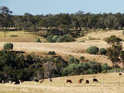 Gin Gin | Cattle grazing
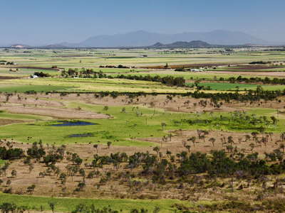 Ayr | Cultural landscape mosaic
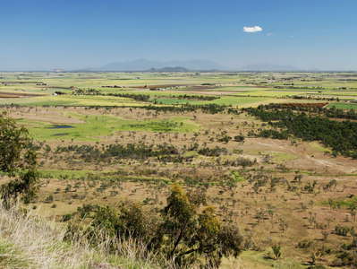 Ayr | Cultural landscape mosaic
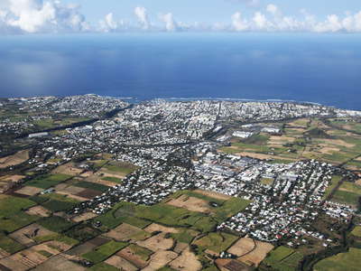 Saint-Pierre
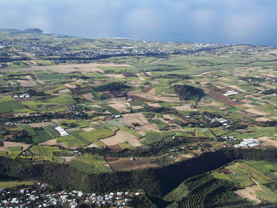 Saint-Pierre | Sugar cane cultivation
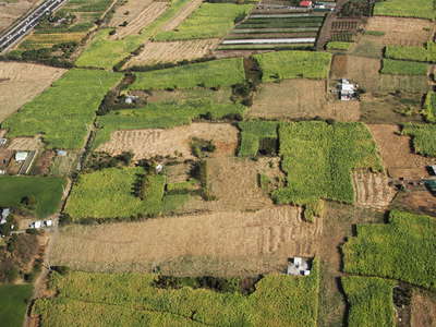 Saint-Pierre | Sugar cane cultivation
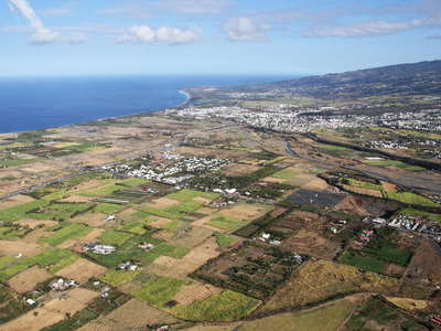 Saint-Louis with Rivière Etienne
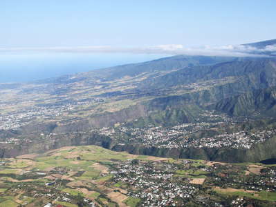 Entre-Deux | Panorama of volcanic slopes
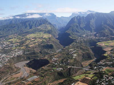 Outlet of Cirque de Cilaos
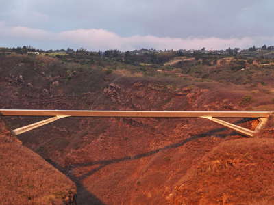 Route des Tamarins | Viaduc de la Grande Ravine
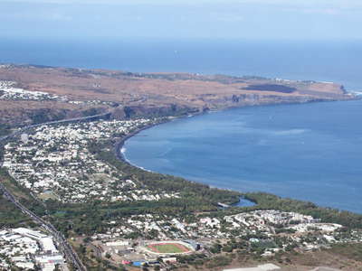 Saint-Paul and Cap de la Houssaye
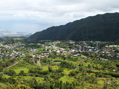 Dos d'Ane
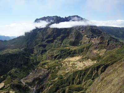 Gros Morne and Piton des Neiges
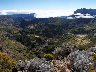 Cirque de Mafate with Gros Morne and Piton des Neiges
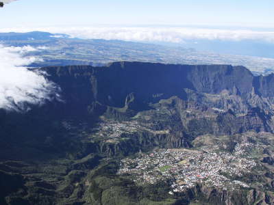 Cirque de Cilaos
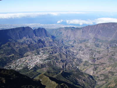 Cirque de Cilaos
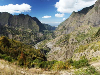 Cirque de Cilaos with Bras de Cilaos
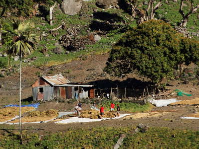 Cirque de Cilaos | Farmstead
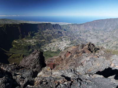 Cirque de Cilaos | Panoramic view
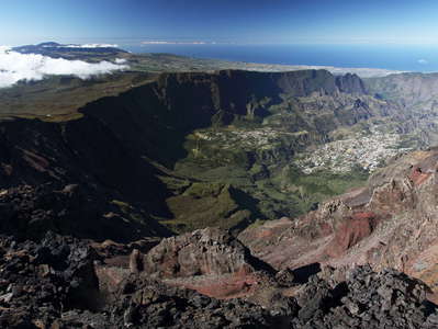 Cirque de Cilaos | Panoramic view
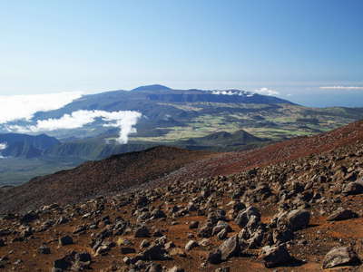 Piton de la Fournaise
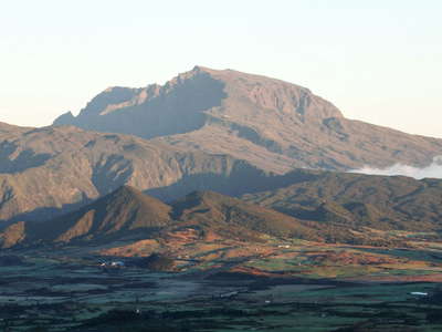 Plaine des Cafres and Piton des Neiges
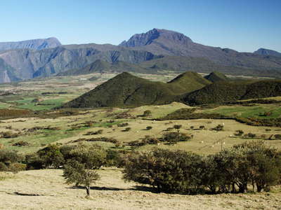 Plaine des Cafres and Piton des Neiges
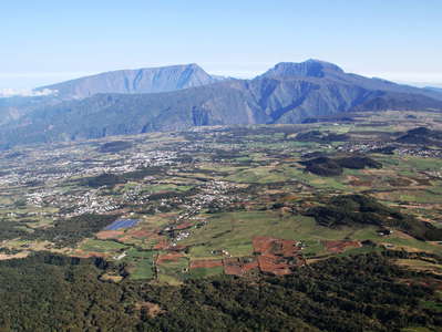 Plaine des Cafres and Piton des Neiges
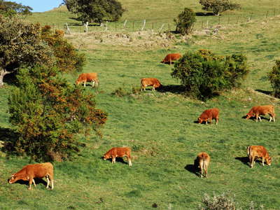 Plaine des Cafres | Cattle
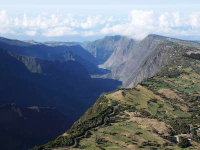 Rivière des Remparts
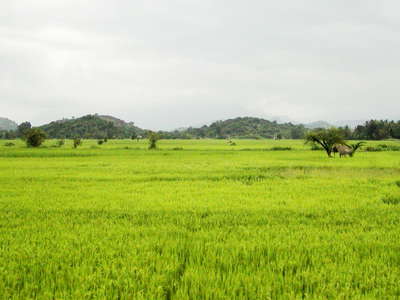 Hettipola | Rice cultivation
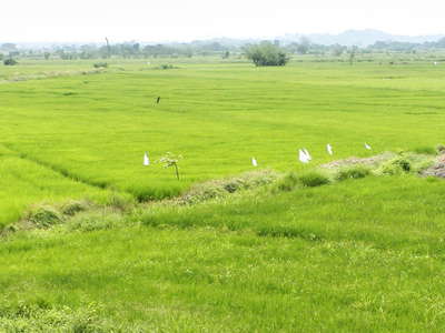 Palatiyawa | Rice cultivation
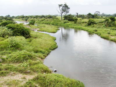 Palatiyawa | Small stream
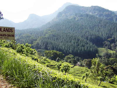 Knuckles Mountain Range with Midlands Tea Estate
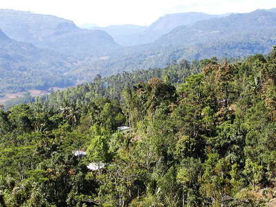 Ramboda with central highlands
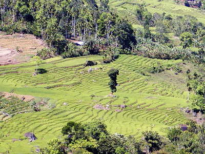 Ramboda | Rice cultivation
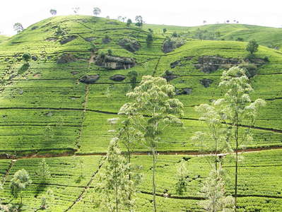 Nuwara Eliya | Labookellie Tea Estate
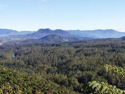 Central highlands panorama
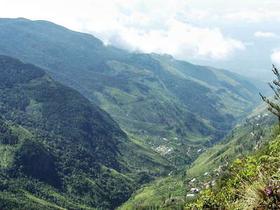 Horton Plains NP | World's End
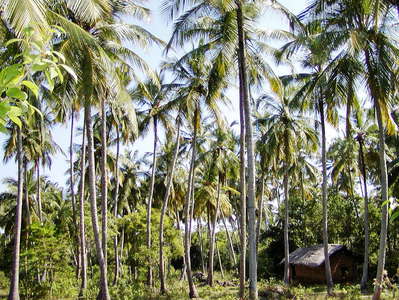 Tangalle | Coconut palm grove
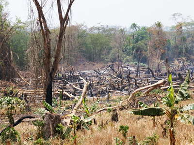 Western Uganda | Slash and burn
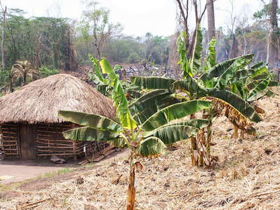 Western Uganda | Farmstead
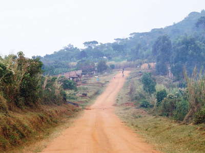 Western Uganda | On the road
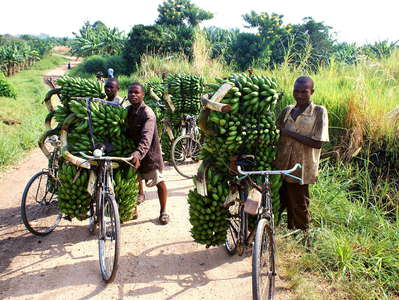 Western Uganda | Banana transport
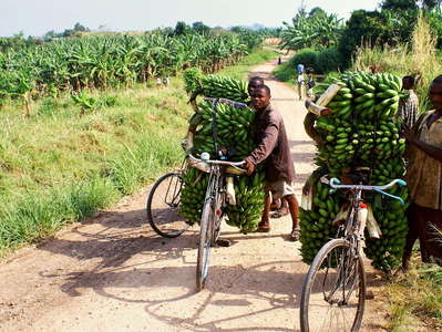 Western Uganda | Banana transport
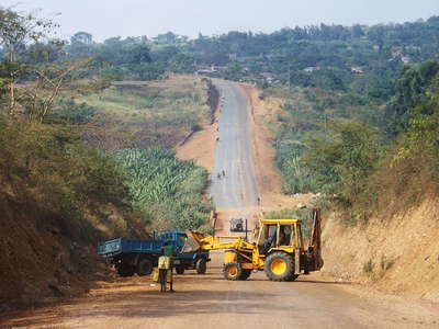 Western Uganda | Road construction
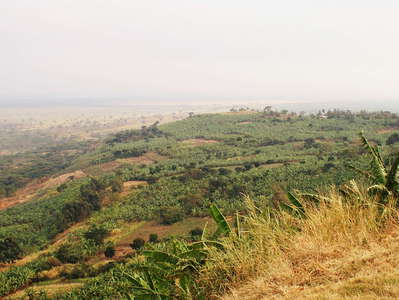 Western Rift | Escarpment
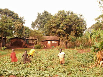 Jinja | Farmstead
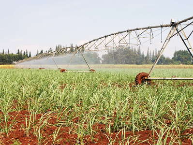 Kakira Sugar Works
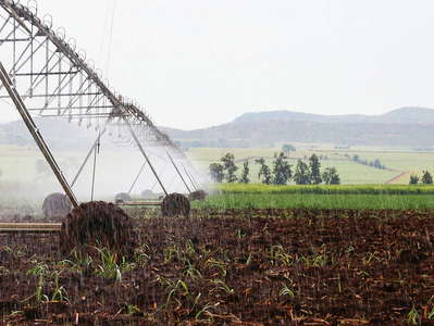 Kakira Sugar Works
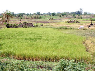 Eastern Uganda | Rice cultivation
