Most of the population of Ecuador lives in the valleys and highlands of the Andes, the backbone of the country topped by a number of active volcanoes, and in the coastal lowlands. The East of the country, partly covered by pristine Amazon rainforest, is almost void of people.

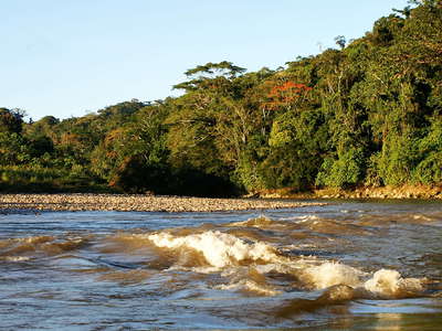 Tena | Río Arajuno
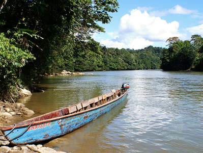 Tena | Río Arajuno
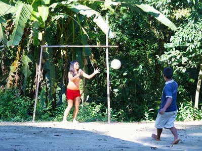 Tena | Football
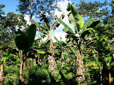 Tena | Banana cultivation
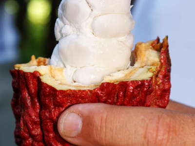 Tena | Cacao
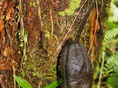 Tena | Cacao fruit
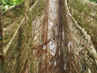 Tena | Buttress
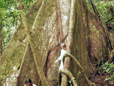 Tena | Buttress
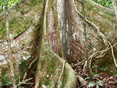 Tena | Buttress
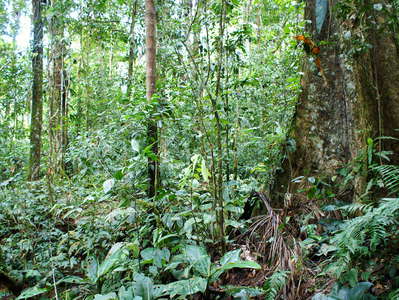 Tena | Tropical rainforest
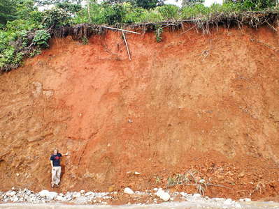 Tropical soil profile
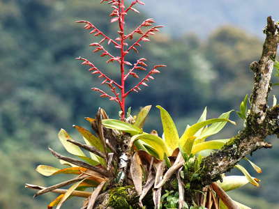 Valle del Río Papallacta | Epiphytic bromeliad
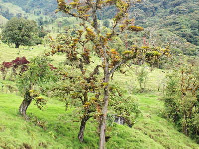 Valle del Río Papallacta | Remnant of cloud forest
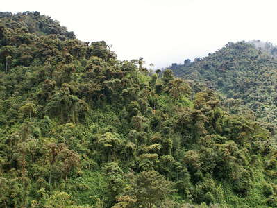 Valle del Río Papallacta | Cloud forest
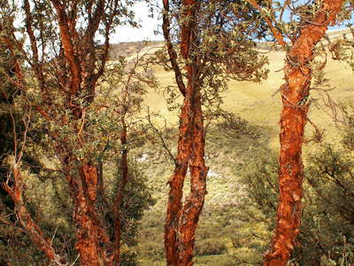 Paso de Papallacta | Polylepis
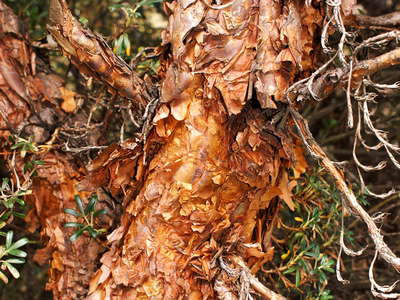 Paso de Papallacta | Polylepis
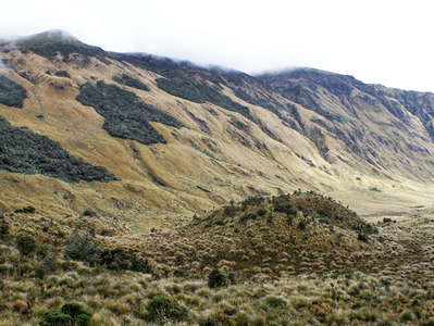 Paso de Papallacta | Forest patches
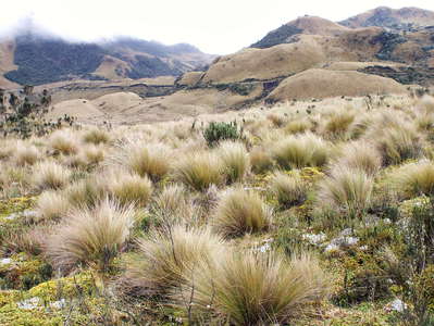 Paso de Papallacta | Tussock grassland
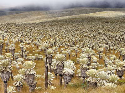 Páramo El Ángel with frailejones
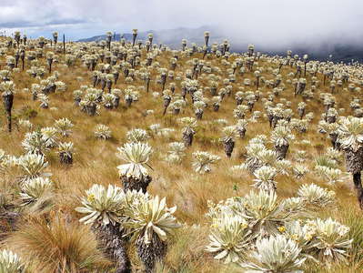 Páramo El Ángel with frailejones
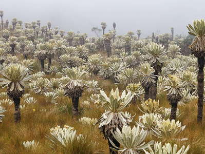 Páramo El Ángel with frailejones
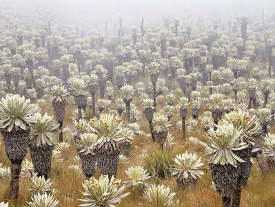 Páramo El Ángel with frailejones
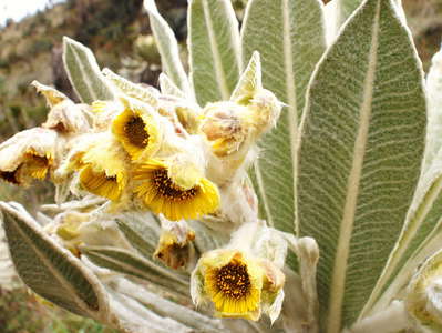 Páramo El Ángel | Inflorescence of frailejón
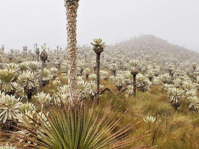 Páramo El Ángel with puya
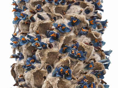 Páramo El Ángel | Inflorescence of puya
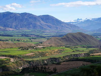 Valle del Río Chota
 Ibarra | Urban traffic
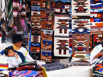 Otavalo | Market
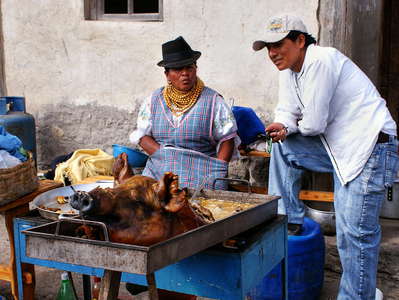 Peguche | Pork
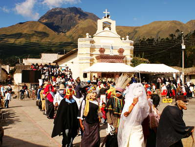 Peguche | Festival
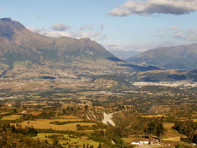 Otavalo and Volcán Imbabura
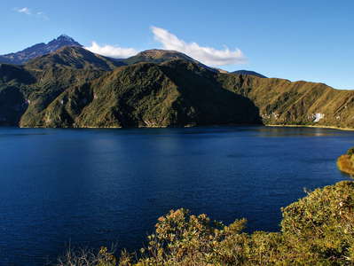 Laguna Cuicocha
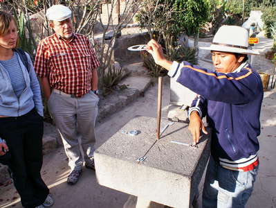 Mitad del Mundo | Tourist trap
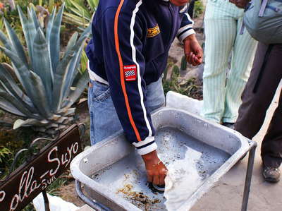 Mitad del Mundo | Tourist trap
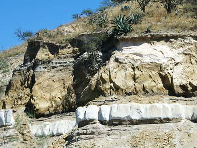 Guayllabamba | Tuff layer
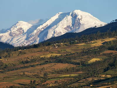 Volcán Cayambe
 Volcán Cayambe
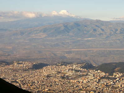 Quito and Volcán Cayambe
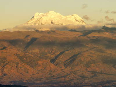 Volcán Antisana
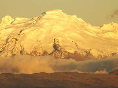 Volcán Antisana
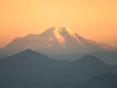 Volcán Chimborazo
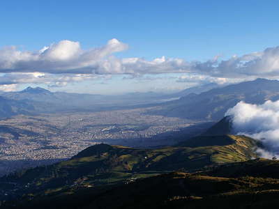 Quito with foehn clouds
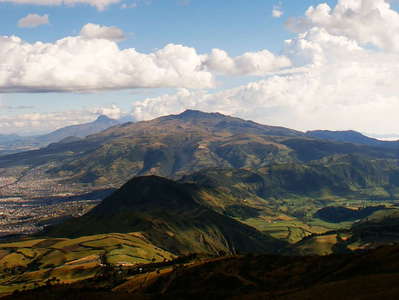 Quito | Panorama
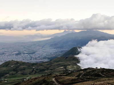 Quito | Panorama with foehn clouds
 Quito with Volcán Cotopaxi
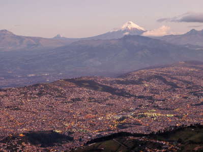 Quito with Volcán Cotopaxi
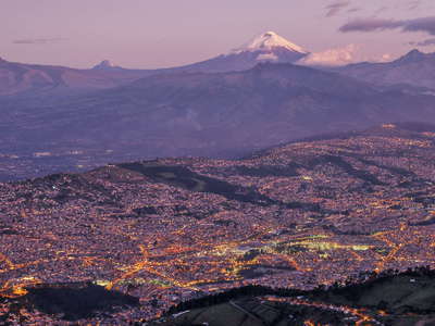 Quito with Volcán Cotopaxi
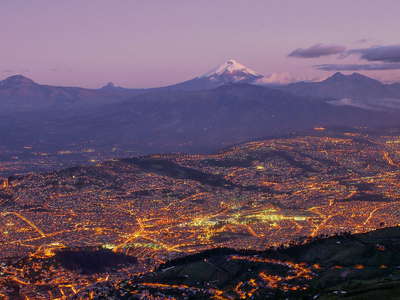 Quito with Volcán Cotopaxi
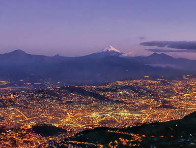 Quito | Panorama with Volcán Cotopaxi
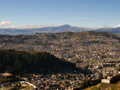 Quito | Panorama with Volcán Cotopaxi
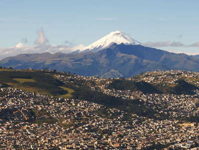 Quito with Volcán Cotopaxi
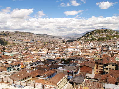 Quito | Historic centre and Panecillo
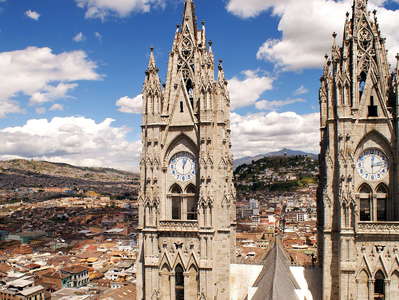 Quito | Basilica del Voto Nacional
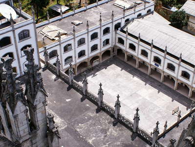 Quito | Basilica del Voto Nacional
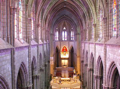 Quito | Basilica del Voto Nacional during service
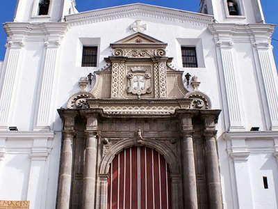 Quito | Iglesia Carmen Alto
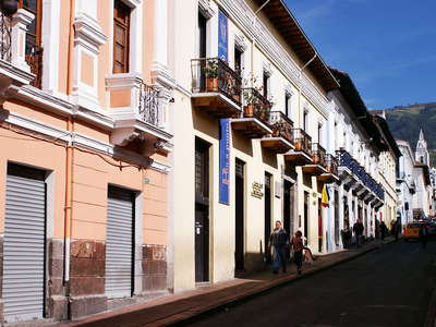 Quito | Calle Vicente Rocafuerte
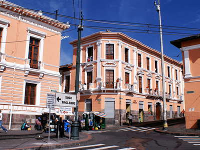 Quito | Plaza de Santo Domingo
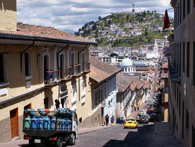 Quito | Calle Gabriel García Moreno and El Panecillo
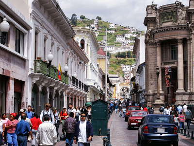 Quito | Calle Gabriel Moreno
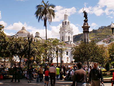 Quito | Plaza de Independencia
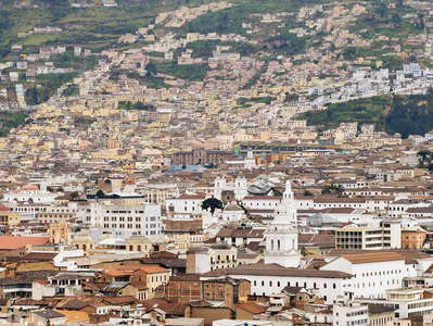 Quito | Historic centre
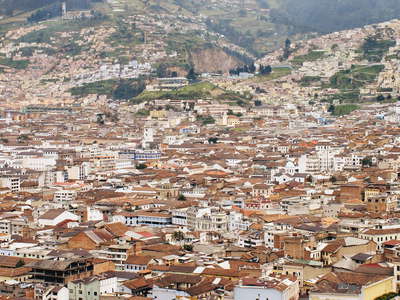 Quito | Historic centre
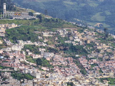 Quito | Monumento de la Libertad
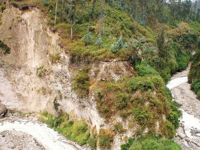 Quito | River undercutting
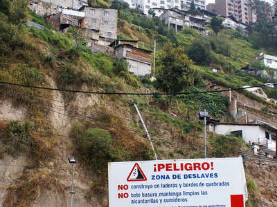 Quito | Hazardous place
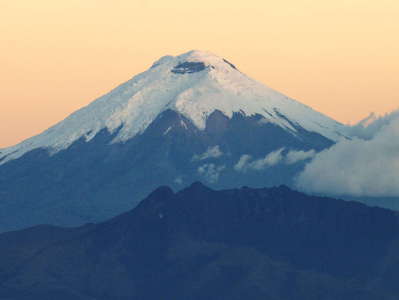 Volcán Cotopaxi
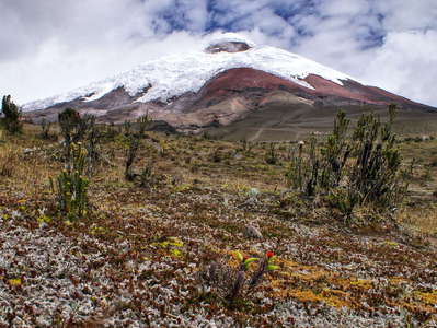 Volcán Cotopaxi
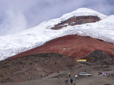 Volcán Cotopaxi with glacier
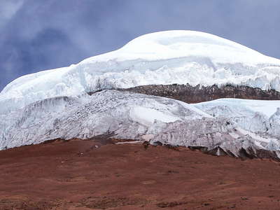 Volcán Cotopaxi with glacier
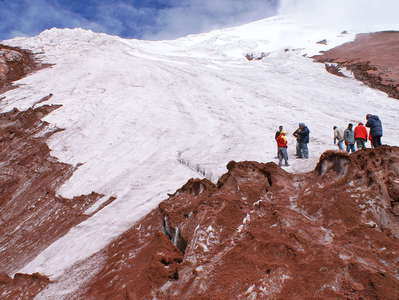 Volcán Cotopaxi | Glacier terminus
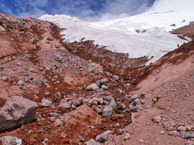 Volcán Cotopaxi | Glacier terminus
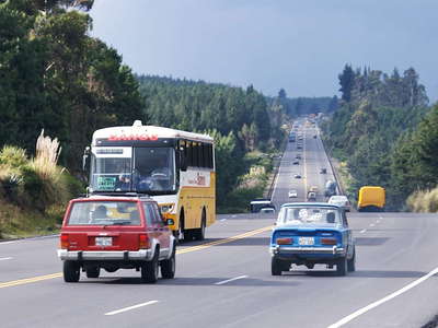 Panamericana
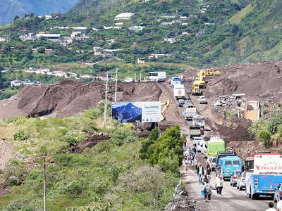 Baños | Road blocked by lahar flow
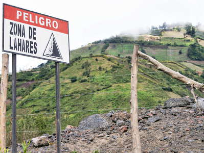 Baños | Lahar hazard
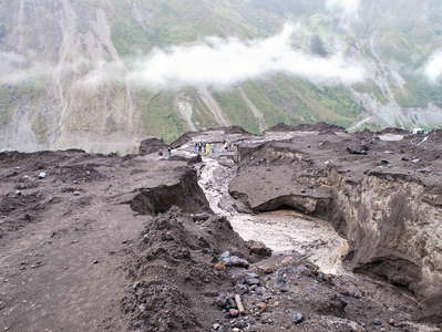 Baños | Lahar flow
 Baños | Lahar flow and landslide
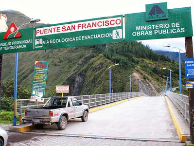 Baños | Puente San Francisco
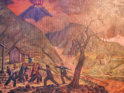 Baños | Painting
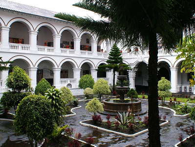 Baños | Patio
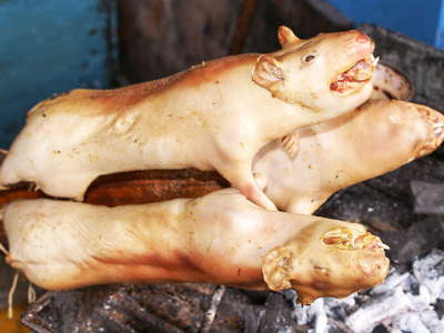 Baños | Cuy asado
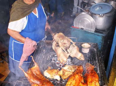 Baños | Cuy asado
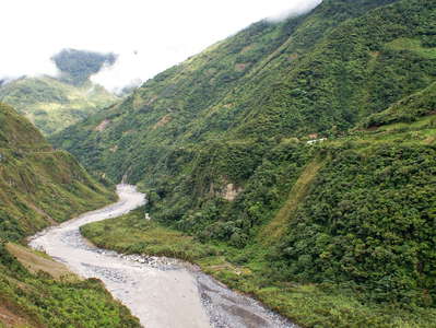 Valle del Río Pastaza
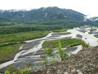 Valle del Río Pastaza
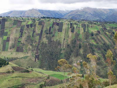 Ambato | Andean cultural landscape
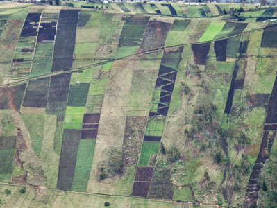 Ambato | Andean cultural landscape
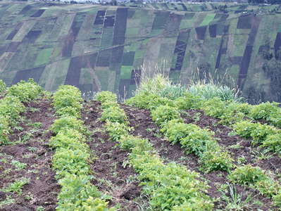 Ambato | Andean cultural landscape
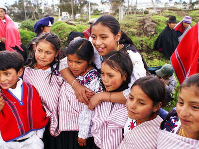 Ambato | Children
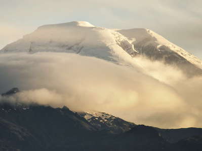 Volcán Chimborazo
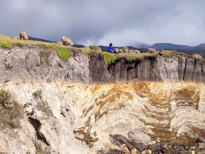 Páramo de Chimborazo | Peaty soil
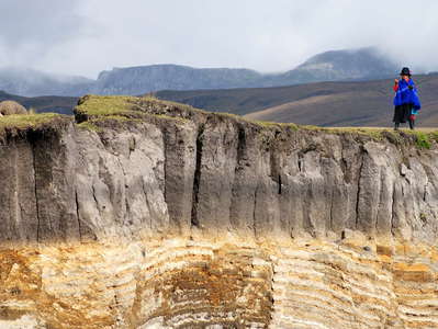 Páramo de Chimborazo | Peaty soil
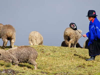 Páramo de Chimborazo | Sheep herding
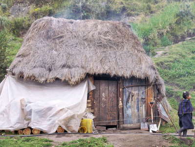 Bolívar | Farm
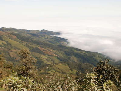 Bolívar | W slopes of Andes
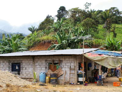 Bolívar | Farm
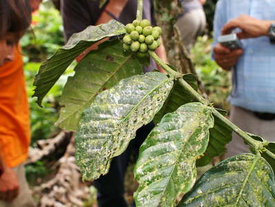 Bolívar | Coffee cultivation
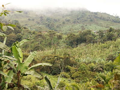 Bolívar | Cultivated land
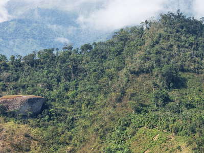 Valle del Río Jubones | Forest
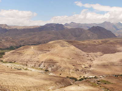 Valle del Río Jubones | Drylands
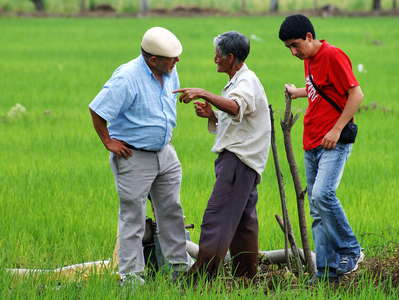 Los Ríos | Farmer and scientists
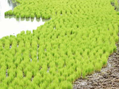 Los Ríos | Rice cultivation
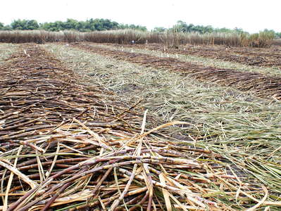 Guayas | Sugar cane cultivation
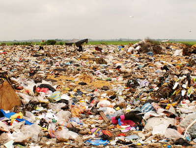 Trash deposit
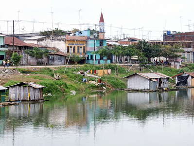 Babahoyo | Floating houses
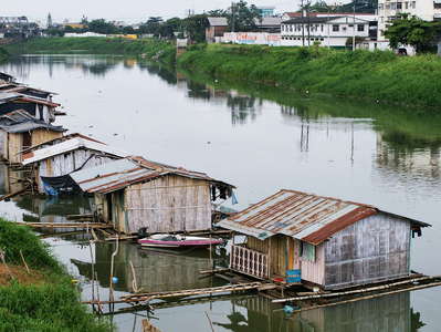 Babahoyo | Floating houses
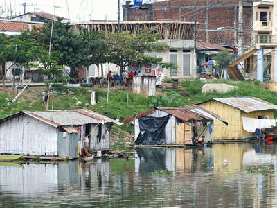 Babahoyo | Floating houses
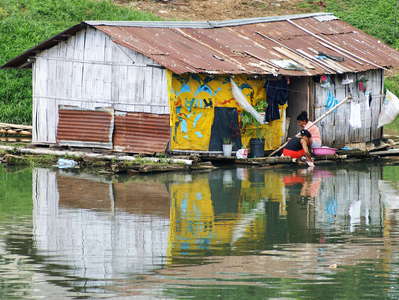 Babahoyo | Floating house
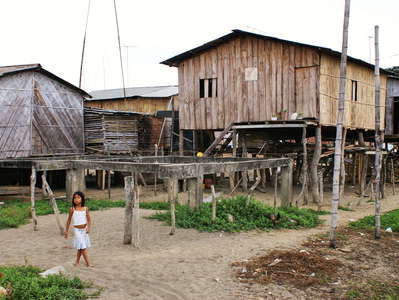 Babahoyo | Residential area
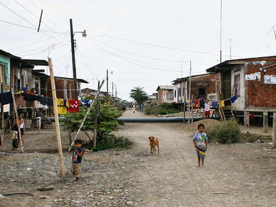 Babahoyo | Residential area
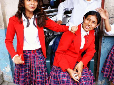 Babahoyo | Pupils
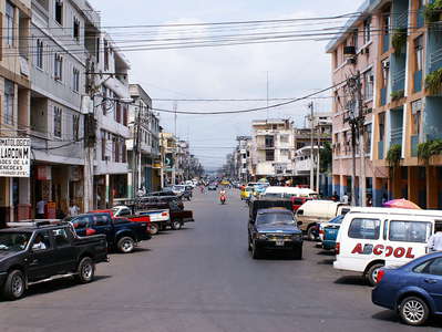 Babahoyo | Town centre
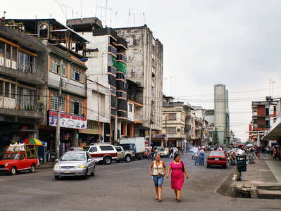 Babahoyo | Town centre
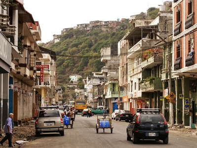 Durán | Town centre
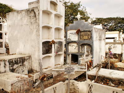 Durán | Cemetery
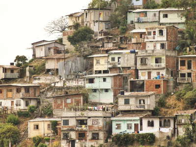 Durán | Residential area
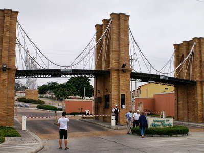 Guayaquil | Urbanización Valle Alto
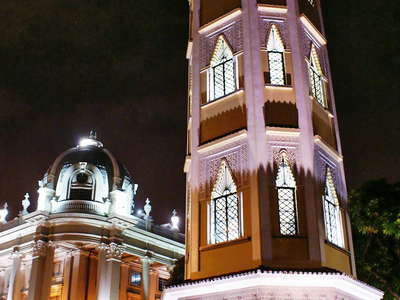 Guayaquil | Torre Morisco
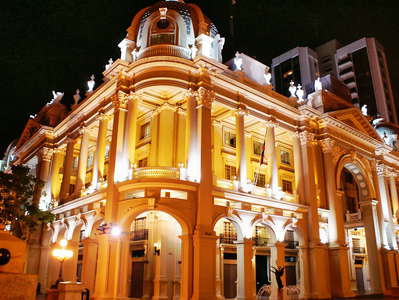 Guayaquil | Palacio Municipal
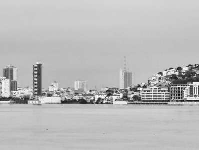 Guayaquil
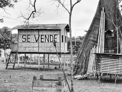 Farmstead
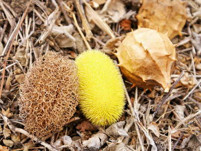 Fruit collection
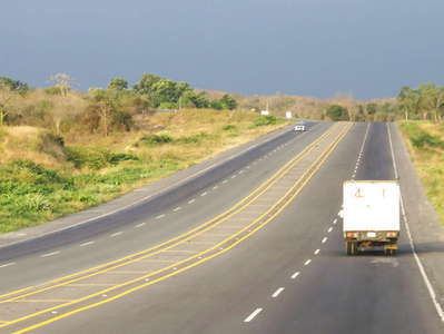 Motorway Guayaquil - Salinas
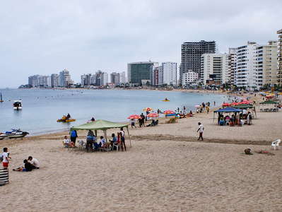 Salinas | Beach
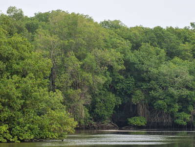 Jambelí | Mangroves
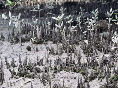 Jambelí | Mangroves
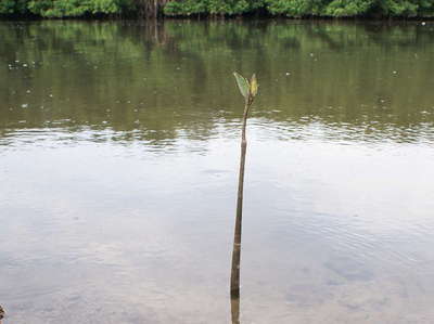 Jambelí | Red mangrove
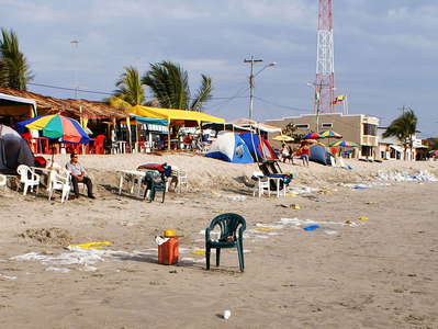 Jambelí | Beach
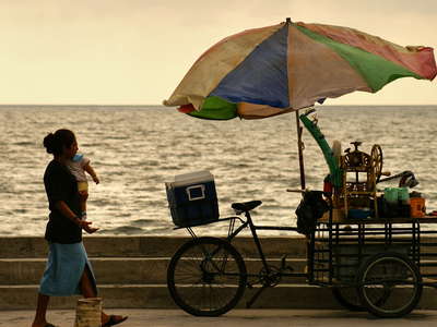 Jambelí | Sunset
